
Thousands of years ago when the last glacier melted, it left behind what today is called Lake Chicago, the ancestor to Lake Michigan. Palos was the mainland to the west, and this was one of a handful of islands dotting the surface of the lake in this region, including Stony Island to the east of North Beverly, Lane’s Island out in Worth and Mt. Forest Island near Willow Springs.
Wave action on the east side carved out the high ridge you see here, while sand was deposited so gradually on the western edge that you can hardly see the elevation beneath the city grid. These deposits left perfect drainage for the cemeteries and golf courses that have been located along there for the last century and more.
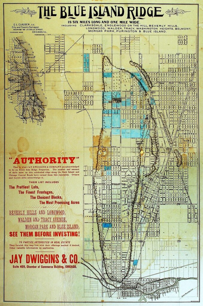
The beauty of this map is that it beautifully shows the actual footprint of the island, and along the eastern edge, sandbars and a cove that once existed (the cove later remaining as a slough when early settlers arrived… and even as late as the 1860s/70s, in wet seasons, when water rushed down the ravines cutting into this eastern edge.
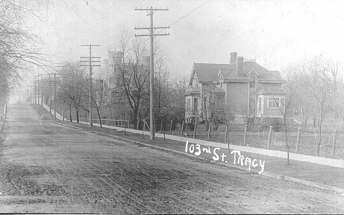
The island is roughly 6 miles long from around 83rd Street on the north down through the City of Blue Island to south of 127th Street, ranging from 3/4 of a mile to a mile and a half wide. Western Avenue – the longest continuous street in Chicago – runs north and south just left of center through it.
The entire rise is around 60 feet above the surrounding plain, the highest point in Chicago around 87th and Western.
In 1826 soldiers and other residents of the second Fort Dearborn on the north side of the Chicago River, looking across the boggy land in between, named it the Blue Island because the ring of hardwood trees surrounding three sides of the island held moisture from the swamp below, giving the whole rise a blur tinge.
In 1852 the Rock Island mainline came through to the east of the island, where a ditch was dug to parallel the tracks into the city. This expedited the draining of all that wet land, the ditch being so full of water that in winter one could ice skate all the way into the city from here.
The Vincennes Road (formerly Trail), one leg of which once wandered across the Ridge and another alongside it, wandered through the swamp to the city, but after the tracks were laid and the ditch dug, the road was made to parallel them.
– Linda Lamberty