
The Ridge Historical Society will be open this Saturday and Sunday, October 15 and 16, as part of Open House Chicago. The address is 10621 S. Seeley Avenue, and the hours are 10 a.m. to 5 p.m. both days.
An RHS theme is that "every house has a history." Today begins the series on the history of the Graver-Driscoll House, RHS headquarters.
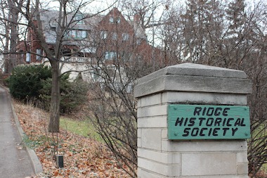
The Ridge Historical Society
The History of the Graver-Driscoll House – Part 1: Purchase of the land and its location
By Carol Flynn, research contributors Linda Lamberty, RHS Historian, and Tim Blackburn
The story of the Graver-Driscoll House began on Valentine’s Day, February 14, 1921, the day that Herbert Spencer Graver, 40 years old, and his wife, Anna Thorne Graver, 36, purchased the property at 10616 S. Longwood Drive from Ashleigh C. Halliwell.
The land, located in the William Baker Subdivision, was 100 by 269 feet in size and cost $8,500. Baker was an early owner/developer of the land, which was first put up for public domain sale by the U.S. government in 1834.
Halliwell and his wife, Alice, lived next door to the south at 10628 S. Longwood (originally called Washington) where their large white house, Woodmont, built in 1896, still stands. Halliwell was the president of the Halliwell and Baum Company which produced the Chicago Live Stock World daily newspaper.
Graver’s newly acquired property was located on the eastern side of the Blue Island Ridge. The Blue Island was a moraine, a tall pile of land, or ridge, that formed when a sheet of ice called a glacier pushed along debris (boulders, clay, dirt, sand, and gravel) as the glacier extended into the area from the north during the last ice age about 25,000 years ago.
Later, as the climate warmed, the glacier melted, creating a vast lake that covered much of the Chicago area. Geologists call this prehistoric body of water Lake Chicago. The small moraine, separated from other moraines, rose above the surface of Lake Chicago as an island.
Lake Chicago drained off in stages to create present-day Lake Michigan. At one time, the western shoreline of the lake stopped at Vincennes Avenue on the eastern side of the Blue Island moraine. For thousands of years, waves lapped against that side of the island, eroding the land into a steep bluff. Today, Longwood Drive runs along the base of that bluff.
Eventually, after the water drained off to the east, this isolated moraine rose above the prairie as the highest elevation of land in the Chicago area. The highest spot, historically at 92nd Street and Western Avenue, was almost 100 feet higher than ground level in “downtown” Chicago.
This land mass was visible to the soldiers and others at Fort Dearborn established in 1803 and rebuilt in 1816 by the U.S. government at the mouth of the Chicago River about twelve miles to the northeast. They are attributed with naming the land mass “Blue Island” in the 1820s.
A letter dated February 4, 1834, was printed in one of the newspapers of the day, the Chicago Democrat, explaining how the name originated.
The letter stated: “Nearly south from this town, and twelve miles distant is Blue Island, situated in the midst of an ocean of prairie. The name is peculiarly appropriate. It is a table of land about six miles in length, of an oval form, rising suddenly some 30-40 feet high out of an immense plain that surrounds it on every side. The sides and slopes of the table as well as the table itself is covered with a handsome growth of timber forming a belt surrounding about 4,000 to 5,000 acres of prairie, except a small opening in the south. It is uninhabited and when we visited it we pronounced it a vast vegetable solitude. Blue Island, when viewed from a distance appears an azure mist of vapor, hence… ‘Blue Island.’”
The Gravers turned to architect John Todd Hetherington to design a house for this dramatic location.
The next posts will cover Hetherington and the house, and the history of the Gravers.
Picture: The Graver-Driscoll House is built into the dramatic setting of the steep bluff of the Blue Island Ridge on Longwood Drive.